Other solutions

Oltre ai servizi per l’irrigazione, Ariespace sviluppa applicazioni operative di osservazione della Terra per la gestione dell’acqua e il controllo del territorio.

Six services based on Copernicus satellites, accessible via Web-GIS, web apps or by email.

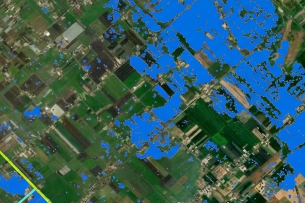
Soluzioni Ariespace per mappatura dei danni da alluvione

WATER

Mapping flood damage

Dopo un evento di piena, sapere entro pochi giorni quali terreni sono stati allagati, con quale gravità e quanta produzione è andata persa.
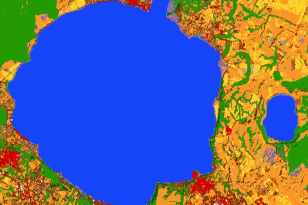
Soluzioni Ariespace per monitoraggio di invasi e corpi idrici

WATER

Monitoring of reservoirs and water bodies

Quanta acqua c’è davvero negli invasi, misurata dal satellite e aggiornata ogni settimana.
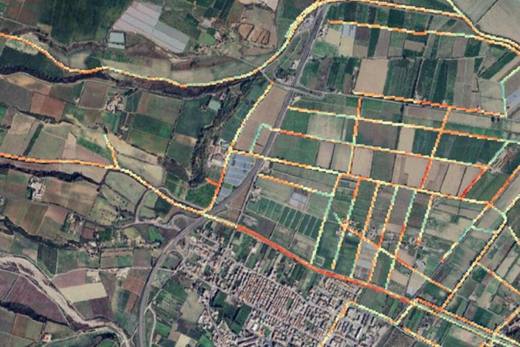
Soluzioni Ariespace per analisi del rischio sui corsi d'acqua

WATER

Risk analysis of watercourses

Identify obstructions and vegetation in the riverbed across the entire network, not just on the sections that can be inspected.
Soluzioni Ariespace per individuazione delle perdite nelle reti irrigue

WATER

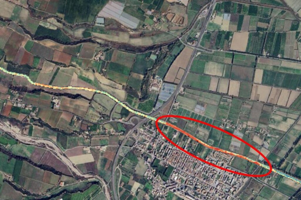
Detection of leaks in irrigation networks

Identify the points where the pipe is likely to be leaking, before the leak becomes visible on the surface.
Soluzioni Ariespace per catasto delle aree percorse dal fuoco

TERRITORY

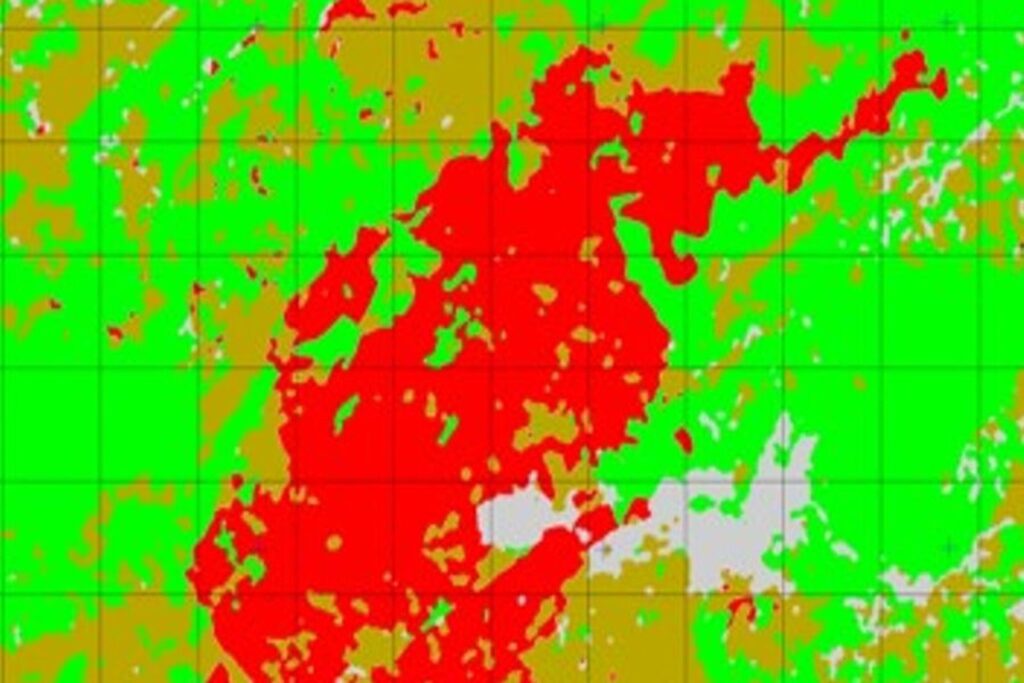
Register of areas affected by fire

Demarcate and classify burnt woodland and pastureland, with documentation that stands up to scrutiny.
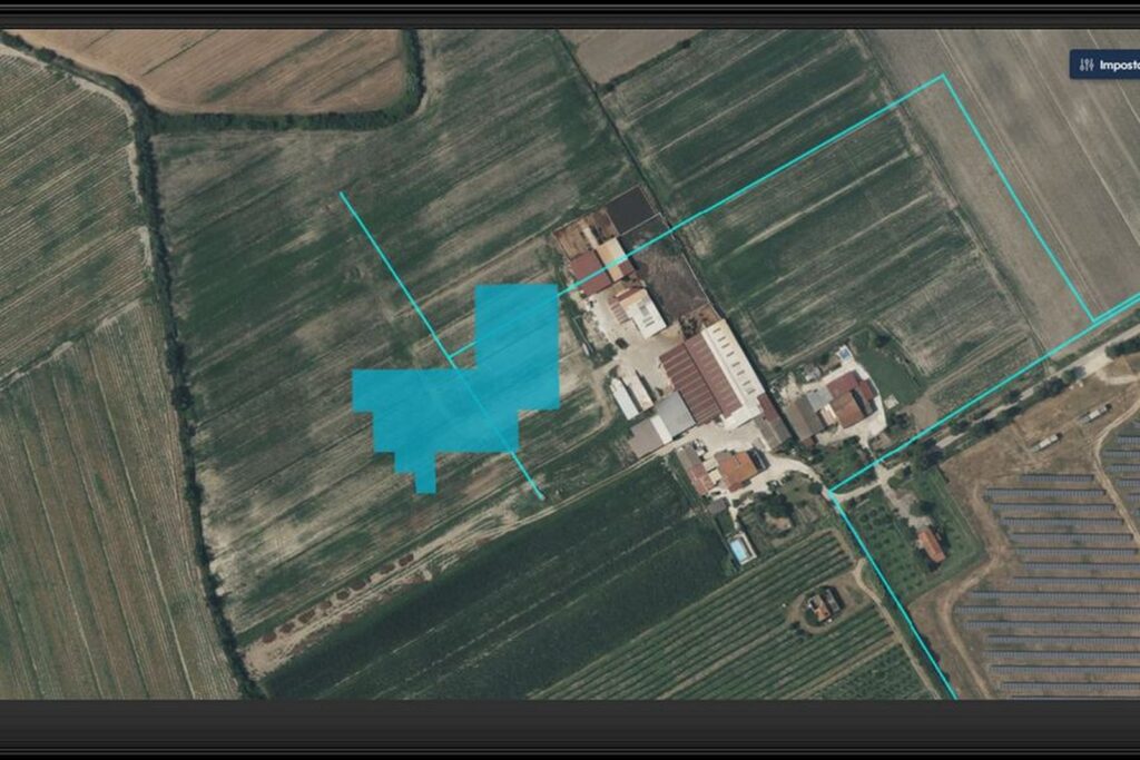
Soluzioni Ariespace per verifica a distanza dei lavori di manutenzione

TERRITORY

Remote monitoring of maintenance work

Understand whether the works declared correspond to what can be seen on the ground, without sending anyone to the site.