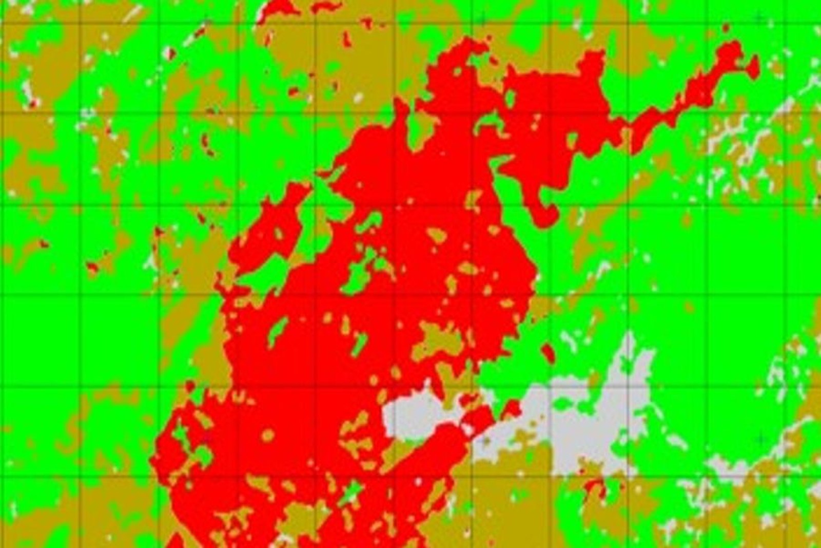
Demarcate and classify burnt woodland and pastureland, with documentation that stands up to scrutiny.
Le aree percorse dal fuoco vengono delimitate e distinte per tipo di copertura e per severità del danno, confrontando la situazione precedente e quella successiva all’evento.
The resulting land register supports the conservation obligations laid down by legislation, investigations into the causes, and the planning of reforestation schemes.
A chi è rivolto
Municipalities Regions Forestry agencies and authorities