
Specialists in remote sensing for agriculture

Solutions

Explore the area across time and space

Gestione intelligente dell’irrigazione

Monitoring the nutritional needs of crops

Digital phytosanitary monitoring

Other solutions

Oltre ai servizi per l’irrigazione, Ariespace sviluppa applicazioni operative di osservazione della Terra per la gestione dell’acqua e il controllo del territorio.

decorazione

Our core service: Irrisat®

Observe. Assess. Manage.

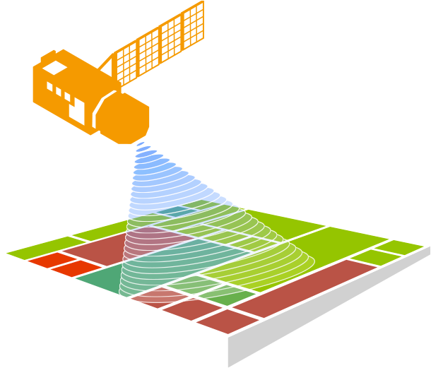
Satellite and meteorological data to transform crop monitoring into irrigation information.

icona aree irrigate

Irrigated areas

icona fabbisogni irrigui

Water requirements

icona volumi irrigui

Irrigation volumes

The estimate of irrigation requirements is in accordance with the provisions set out in Ministerial Decree of 31 July 2015.

Il primo sistema di consiglio e controllo dell’irrigazione basato su immagini satellitari ad alta risoluzione.
Sviluppato nel 2007 in Regione Campania, è oggi adottato da numerosi Consorzi di Bonifica e Irrigazione per la stima delle aree irrigate, dei volumi irrigui e il monitoraggio dei prelievi idrici, in conformità al DM 31.07.2015 e a supporto delle attività di water accounting e della governance della risorsa idrica, in linea con la Direttiva Quadro Acque 2000/60/CE.

decorazione

What we do

We transform satellite imagery
and field data into information

We combine Earth Observation, agronomic models and in situ data to generate reliable indicators to support decision-making.

decorazione
decorazione
decorazione

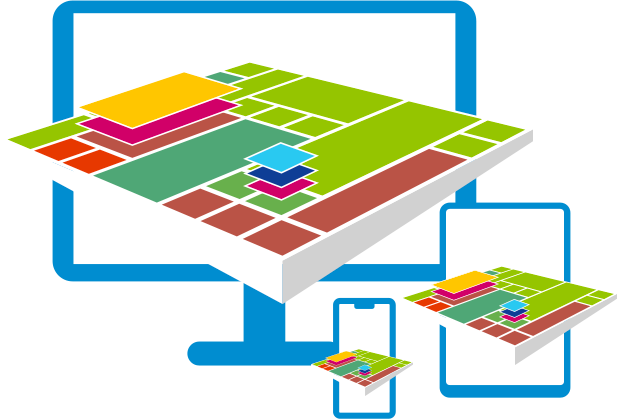
and we make them accessible via user-friendly web apps

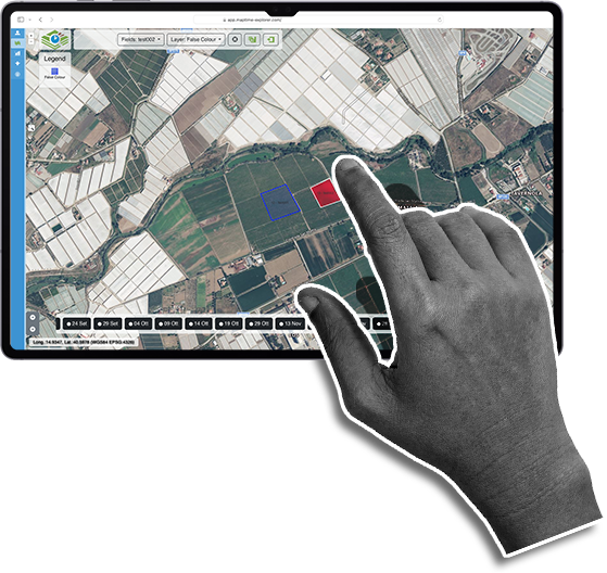
Intuitive web apps to incorporate data into everyday decisions

Success Cases

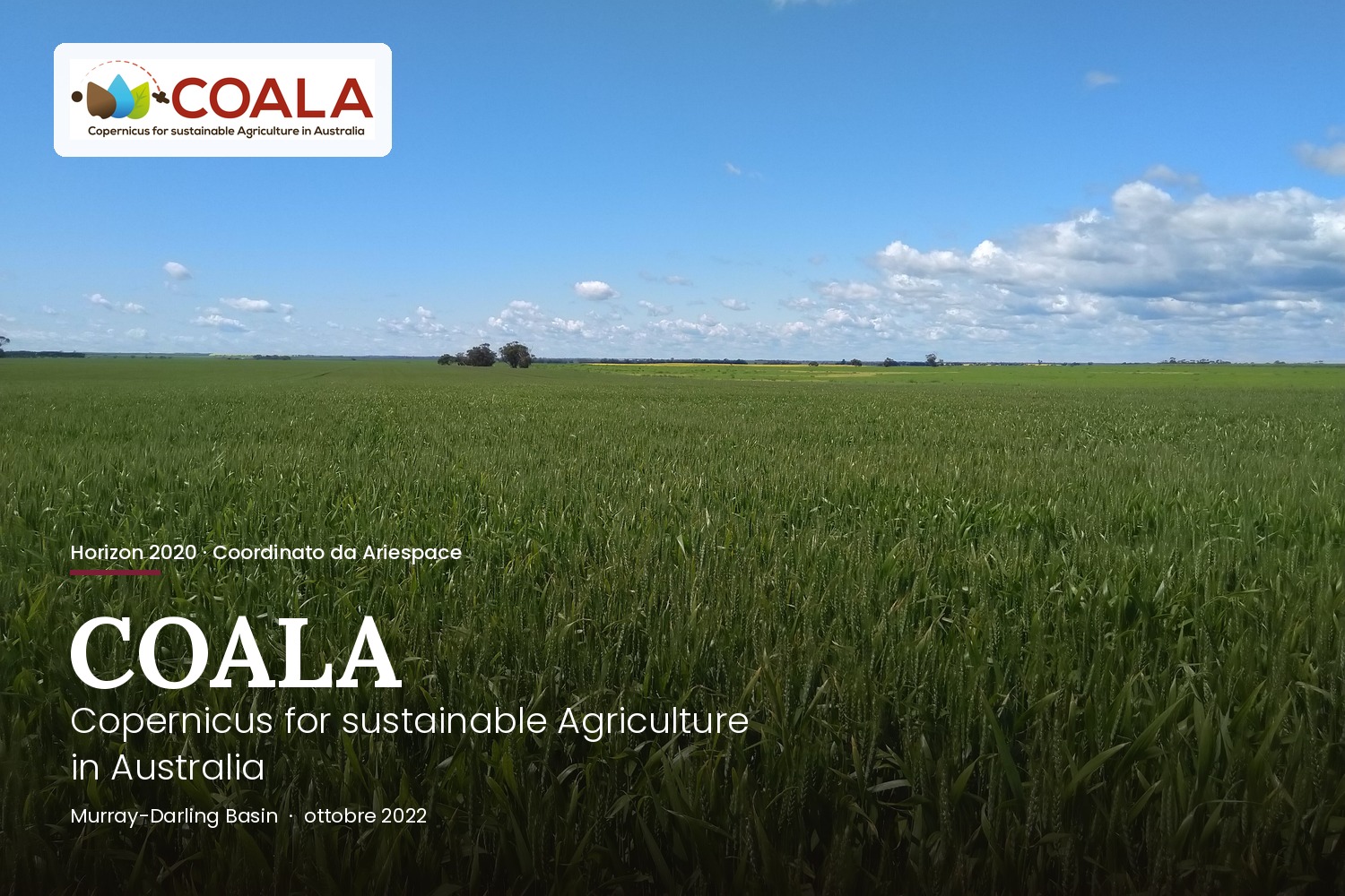
Progetto COALA

COALA:
Copernicus Satellite Services for Australian Irrigated Agriculture

A €1.7 million Horizon 2020 project, proposed and coordinated by Ariespace, which has brought Italian irrigation expertise to the Murray-Darling Basin
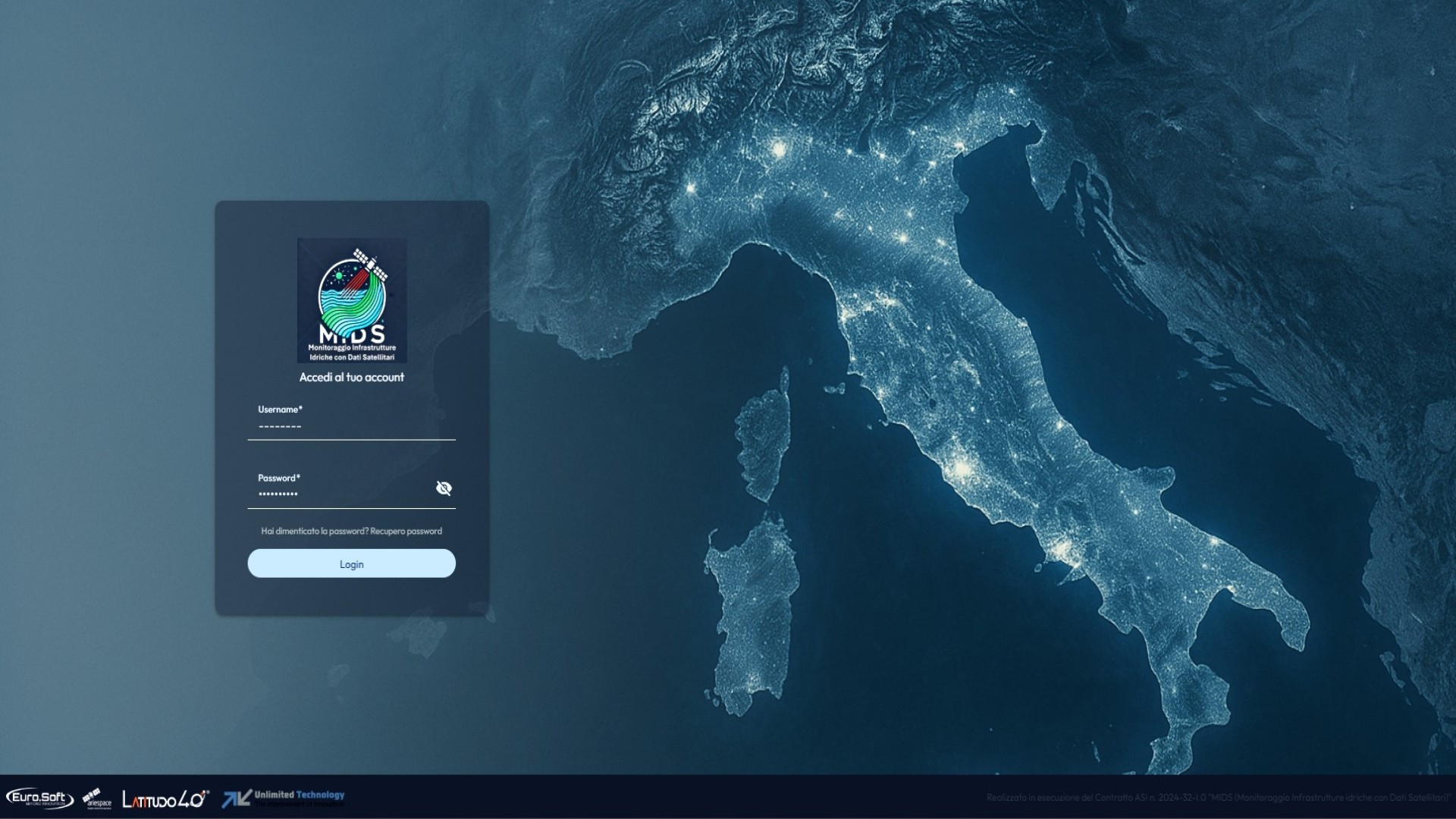
Progetto MIDS

MIDS:
Monitoring Water Infrastructure Using Satellite Data

MIDS nasce per individuare le perdite nella reti di distribuzione irrigua, verificare la stabilità delle infrastrutture e rilevare fonti di inquinamento.
News

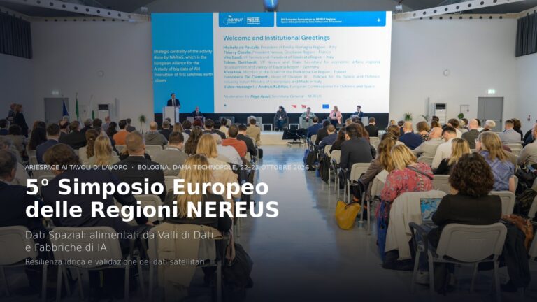
5° Simposio Europeo delle Regioni NEREUS: Ariespace ai tavoli su acqua e qualità del dato satellitare

Il 22 e 23 ottobre 2026 Ariespace ha partecipato a Bologna al quinto Simposio Europeo delle Regioni NEREUS, dedicato...

From Orbit to Action: Ariespace a BEX 2026

Ariespace ha partecipato alla prima edizione di BEX — Beyond Exploration Expo, dal 23 al 25 settembre 2026 al Rimini...
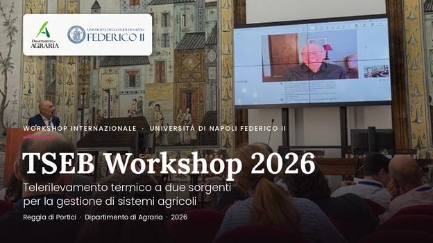
Ariespace al TSEB Workshop 2026: il Telerilevamento Termico per la Gestione dell’Acqua in Agricoltura

Il team Ariespace ha partecipato al workshop internazionale «Telerilevamento termico a due sorgenti per la gestione di...
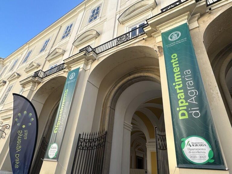
Ariespace at Synergy Days Italy: Carlo De Michele among the Speakers

Il nostro CEO, Carlo De Michele, è stato tra i relatori di Synergy Days Italia, l'evento dedicato ad agricoltura...


Customers

Ariespace is the ideal partner for the smart management of natural resources, thanks to our expertise in remote sensing, GIS and simulation modelling, which ensure efficiency and innovation.

Land Reclamation and Irrigation Consortia

We optimise irrigation management with continuous monitoring tools and decision support

decorazione

Public Administrations

The geospatial systems and analysis models we offer improve land-use planning and the management of agroforestry resources.

decorazione

Private Individuals and Farms

We increase productivity and reduce costs through the use of satellite data, for more efficient management of irrigation and agronomic inputs.

decorazione

Research and Development

We participate in projects funded by theEuropean Union to develop cutting-edge solutions.

decorazione
divisore
logo ISO 9001

ISO 9001
Certificazione n.IT318271 – Bureau Veritas

EARSC
Full Member

SAM
Socio