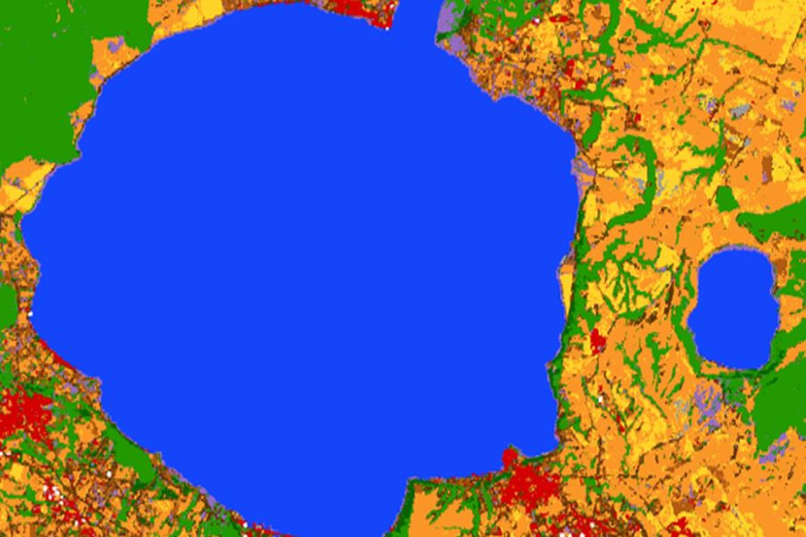
Quanta acqua c’è davvero negli invasi, misurata dal satellite e aggiornata ogni settimana.
The surface area and water levels of lakes, reservoirs and river courses are continuously updated, whatever the weather conditions. Each satellite pass adds a data point to the time series, and this series allows for comparisons between different seasons.
Serve a programmare i rilasci con un dato indipendente dalle misure di campo e a documentare la disponibilità idrica nei periodi di scarsità, quando la stessa informazione viene richiesta da più enti.
A chi è rivolto
Land Reclamation Consortia Autorità di bacino Reservoir operators